
PRECISION
FROM ABOVE
D6Drones delivers enterprise-grade aerial services across Northern Illinois, Southern Wisconsin, and Northwestern Indiana. Aerial photography, infrastructure inspections, thermal imaging, and construction monitoring — executed with precision, delivered on time.
ENTERPRISE DRONE
CAPABILITIES

D6Drones
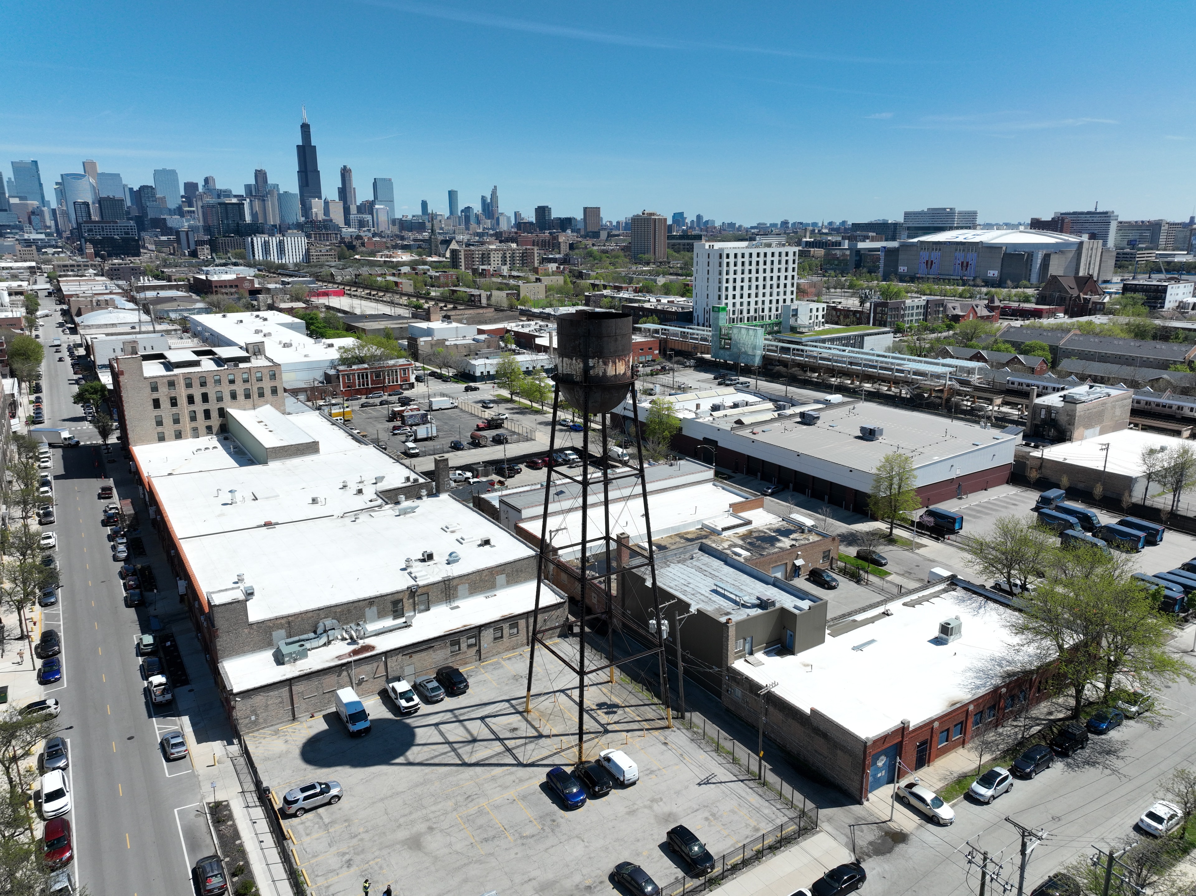
Aerial Photography
Cinematic 4K imagery and video from any altitude.
High-resolution stills and video for real estate, marketing, events, and site documentation. Fully licensed and insured.
D6Drones
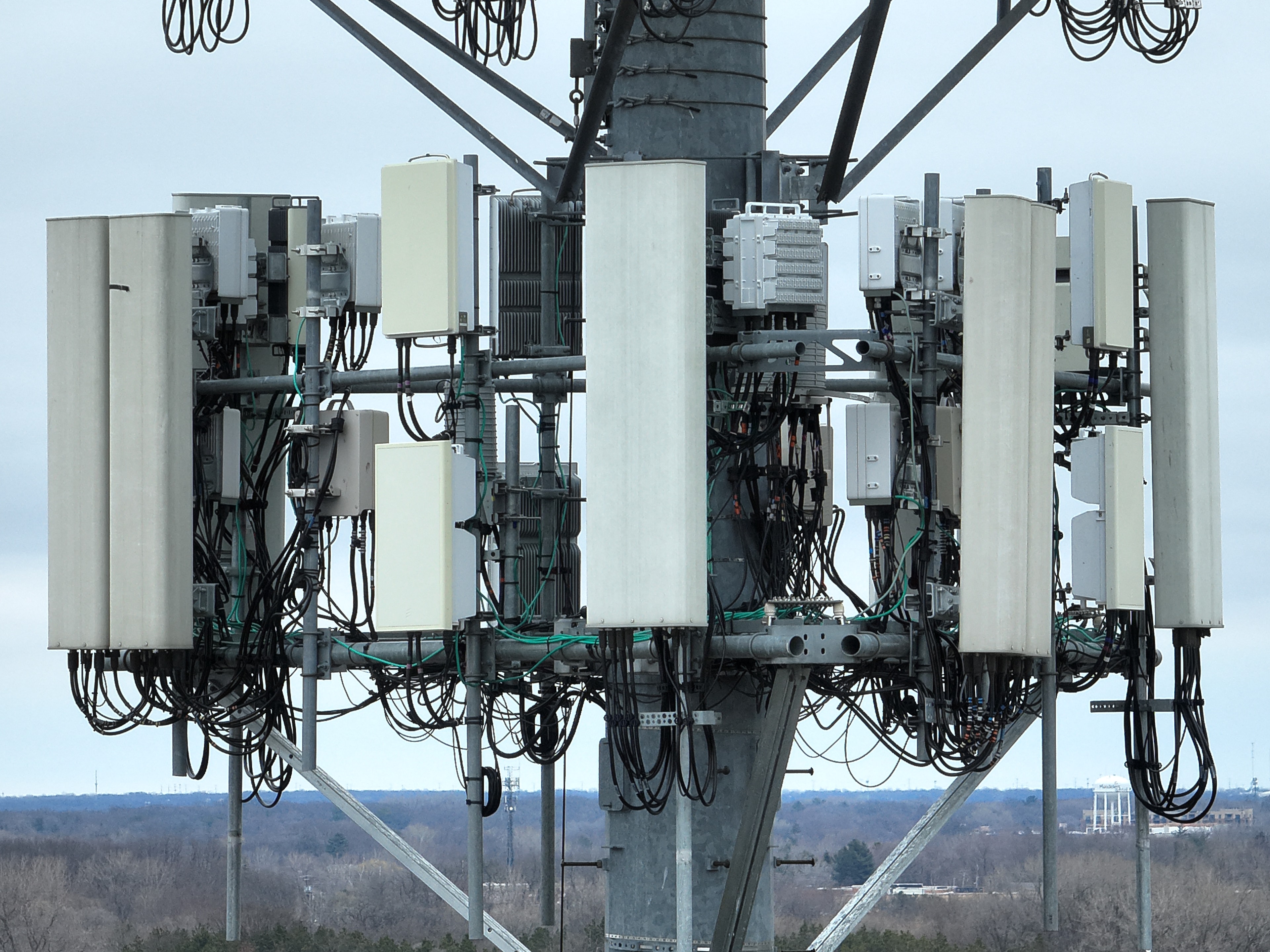
Drone Inspections
Infrastructure and facility inspection without scaffolding.
Bridges, towers, rooftops, pipelines, and industrial assets — detailed visual reports delivered within 48 hours.
D6Drones
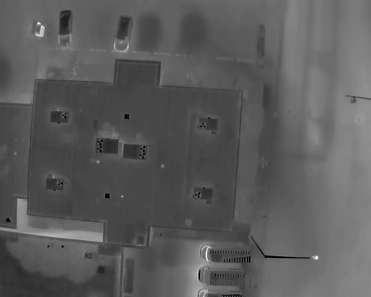
Thermal Imaging
Heat signature analysis for energy and safety audits.
Identify heat loss, electrical faults, moisture intrusion, and equipment anomalies with precision thermal sensors.
D6Drones
Construction Monitoring
Progress documentation and site oversight from above.
Regular aerial surveys, volumetric measurements, and progress reports to keep projects on schedule and stakeholders informed.
WE DON'T JUST
FLY DRONES.
WE DELIVER INTEL.
Every flight is a precision operation. We combine certified pilots, enterprise-grade equipment, and rigorous data processing to give you actionable intelligence — not just footage.
FAA Part 107 Certified
Every pilot holds FAA Part 107 certification. We operate within all regulatory requirements — no exceptions.
Fully Insured Operations
$2M liability coverage on every flight. Your project, your assets, and your team are protected.
48-Hour Deliverables
Processed imagery, reports, and data delivered within 48 hours of flight. No waiting weeks for results.
Local. Field-Ready.
Based in the Chicago metro area, serving Northern Illinois, Southern Wisconsin, and Northwestern Indiana. We know the terrain, the weather, and the regulations in your backyard.
READY TO SEE YOUR
PROJECT FROM ABOVE?
Tell us about your project and we'll put together a custom flight plan and quote within 24 hours. No obligation, no guesswork.
